Dumfries & Galloway
This novel tells the extraordinary true-life story of Elspeth Buchan and the...
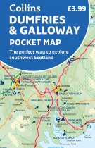
Handy little full colour map of Dumfries & Galloway. Includes clear mapping with main...
McMillan's Galloway, a witty and irreverent look at contemporary Dumfries and Galloway,...
12-year-old Ada is a laundress of little consequence but the new castle commander Brian...
The Galloway Hills form part of the Southern Uplands of Scotland. This map for...
Made up of the old counties of Wigtownshire and The Stewartry, Galloway covers a vast...
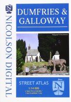
Brand new product. Fully indexed street mapping covering all the towns in Dumfries &...
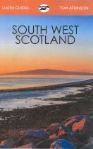
The lovely land of hills, moors and beaches is bounded by the Atlantic and the Solway....
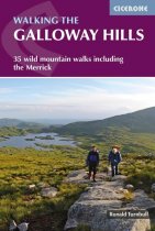
This guide covers 34 day walks and one long-distance route in the wild and remote hills...
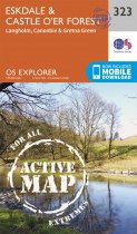
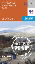
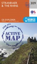
OS Explorer is the Ordnance Survey's most detailed map and is recommended for anyone...
OS Explorer is the Ordnance Survey's most detailed map and is recommended for anyone...
OS Explorer is the Ordnance Survey's most detailed map and is recommended for anyone...


