Highlands
Large, full colour panorama of the Highlands viewed from Central Scotland. Historical...
Covering a large area, yet compact enough to fit in your pocket, the XT40 Ultra Map has...
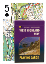
These playing cards make the perfect gift! Each card shows a unique piece of map...
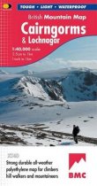
Spectacular map of the Cairngorms high plateau and surrounding hills at 1:40,000...
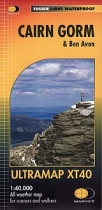
Covers a large area yet is handily compact. Pocket perfect!Detailed map for runners and...
Compact and light - the map itself weighs just 60gms - a third of the weight of a...
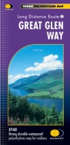
The Great Glen Way follows the Caledonian Canal from Fort William to Inverness....
Strong durable waterproof polyethylene map for walkers. 1:40,000.
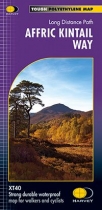
This map, the most recent addition to the HARVEY route map series has been produced in...
Rob Roy Way is a walk across part of the Southern Highlands of Scotland taking in some...
Detailed map of Britain's last wilderness at 1:40,000 scale.
Includes Kintail and...
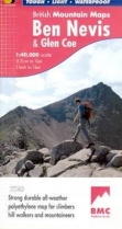
Detailed map for hillwalkers and climbers of Ben Nevis and Glen Coe at 1:40,000 scale....


