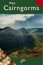
Highlands
In stock
RRP:12.99
Your price:
£11.69
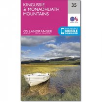
An all purpose map packed full of information to help you really get to know an area....
Rob Roy Way is a walk across part of the Southern Highlands of Scotland taking in some...
Detailed map of Britain's last wilderness at 1:40,000 scale.
Includes Kintail and...
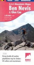
Detailed map for hillwalkers and climbers of Ben Nevis and Glen Coe at 1:40,000 scale....
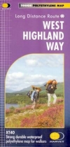
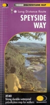
Strong durable waterproof polyethylene map for walkers.
New tough polythene map. Tough, light and durable. 100% waterproof. Information on...
GPS compatible. 1:25 000 Scale, detailed for sure navigation, clear and easy to read...
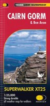
Includes 18 Munros of which 5 over 4000' (Cairn Gorm, Ben Macdui, Cairn Toul, Braeriach...
GPS compatible. 1:25 000 Scale, detailed for sure navigation, clear and easy to read...
An all purpose map packed full of information to help you really get to know an area....
Every part of England, Scotland and Wales - however remote - is covered by 403 maps...
A detailed and easy to use colour map, showing Tourist Information Centres, museums,...

