Highlands
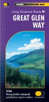
The Great Glen Way follows the Caledonian Canal from Fort William to Inverness....
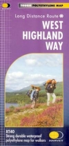
Strong durable waterproof polyethylene map for walkers. 1:40,000.
This map, the most recent addition to the HARVEY route map series has been produced in...
Rob Roy Way is a walk across part of the Southern Highlands of Scotland taking in some...
Detailed map of Britain's last wilderness at 1:40,000 scale.
Includes Kintail and...
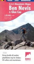
Detailed map for hillwalkers and climbers of Ben Nevis and Glen Coe at 1:40,000 scale....
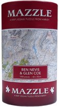
750 irregular shaped pieces make up this jigsaw of Ben Nevis and Glen Coe.
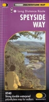
Strong durable waterproof polyethylene map for walkers.
New tough polythene map. Tough, light and durable. 100% waterproof. Information on...
GPS compatible. 1:25 000 Scale, detailed for sure navigation, clear and easy to read...
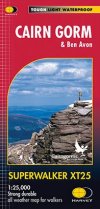
Includes 18 Munros of which 5 over 4000' (Cairn Gorm, Ben Macdui, Cairn Toul, Braeriach...
GPS compatible. 1:25 000 Scale, detailed for sure navigation, clear and easy to read...

