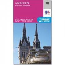
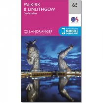
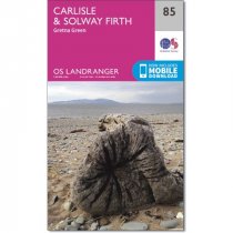
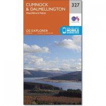
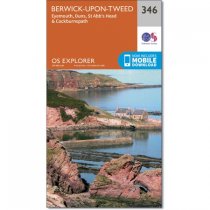
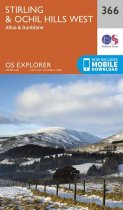
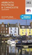
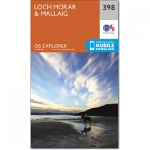
Ordnance Survey
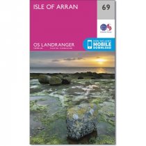
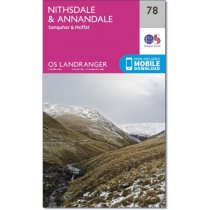
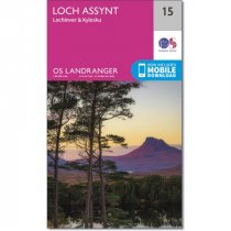
An all purpose map packed full of information to help you really get to know an area....
In stock
RRP:12.99
Your price:
£11.69
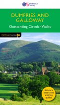
This guide contains 28 walks. Each walk features an easy to follow route description,...
An all purpose map packed full of information to help you really get to know an area....
An all purpose map packed full of information to help you really get to know an area....
An all purpose map packed full of information to help you really get to know an area....
An all purpose map packed full of information to help you really get to know an area....
An all purpose map packed full of information to help you really get to know an area....
Every part of England, Scotland and Wales - however remote - is covered by 403 maps...
Every part of England, Scotland and Wales - however remote - is covered by 403 maps...
Every part of England, Scotland and Wales - however remote - is covered by 403 maps...
Every part of England, Scotland and Wales - however remote - is covered by 403 maps...
Every part of England, Scotland and Wales - however remote - is covered by 403 maps...

