English Street Maps
Items 1 to 12 of 12 total
1
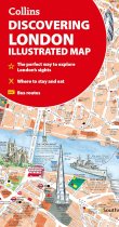
A new edition of London’s most original map. This hand-watercoloured map contains...
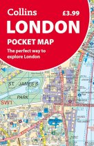
Discover new places in central London with this handy pocket map from Collins.
Clear...
This up-to-date, folded A-Z street map includes all of the 1,500 streets in and around...
Navigate your way around York with detailed street maps from A-Z
This up-to-date,...
This up-to-date detailed A-Z street map includes more than 1,600 streets in and around...
Navigate your way around London with this detailed, easy-to-use, and up-to-date A-Z...
Navigate your way around Bristol and Bath with this detailed and easy-to-use A-Z Street...
The only county Street Atlas with all the named streets of Cornwall and Plymouth. With...
As well as Nottingham Castle and Lace Market, the other areas covered include Willford...
As well as the city centre and the University of Reading, the other areas covered...
The ultimate street atlas to navigate your way around London.
A comprehensive...
This up-to-date detailed A-Z street map includes more than 3,700 streets in and around...
Items 1 to 12 of 12 total
1

