English Street Maps
Items 13 to 17 of 17 total
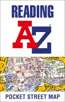
As well as the city centre and the University of Reading, the other areas covered...
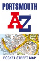
As well as ferry routes from Portsmouth Harbour, other areas covered include Southsea,...
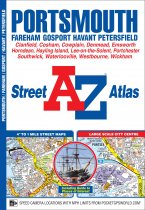
This A-Z map of Portsmouth is a full colour street atlas combining 54 pages of street...
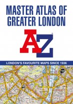
The ultimate street atlas to navigate your way around London.
A comprehensive...
This up-to-date detailed A-Z street map includes more than 3,700 streets in and around...
Items 13 to 17 of 17 total

