Harvey
GPS compatible. 1:25 000 Scale, detailed for sure navigation, clear and easy to read...
Currently out of Stock
RRP:15.50
Your price:
£13.95
More than a map - an essential piece of equipment. This new generation HARVEY...
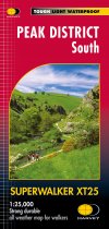
Covers the area from Buxton to Matlock. Includes Leek, the Roaches and Dovedale....
More than a map - an essential piece of equipment. This new generation Harvey...
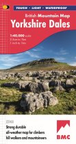
A huge area on one map. Yorkshire Dales - the latest addition to the British Mountain...
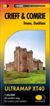
Includes Ben Chonzie, Glen Artney, Doune Castle and the Braes of Doune.
1 Munro, 2...
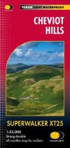
Ideal for The Chevio, Windy Gyle and the northern section of Northumberland National...
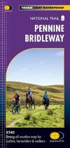
The Pennine Bridleway is a 330km National Trail that runs through the Pennine Hills...
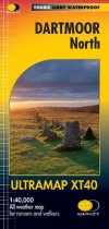
The Ultramap covers a large area yet is small enough to slip in a pocket.It is a fully...
The Ultramap covers a large area yet is small enough to slip in a pocket.It is a fully...
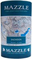
Full colour 1000 piece jigsaw comes in an attractive, robust cardboard tube.
Overview...
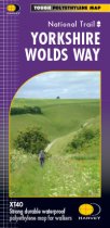
The Yorkshire Wolds Way is a 127 km (79 mile) walking route in the chalk landscape of...

