Northern Ireland & Ireland Maps
Road Trip Ireland The Big Map by Robbie Roams! The ultimate map containing all major...
Larne 1:50 000 scale multipurpose paper mapping.
Outdoor pursuits map and navigation guide for Strangford Lough, with easy-to-follow...
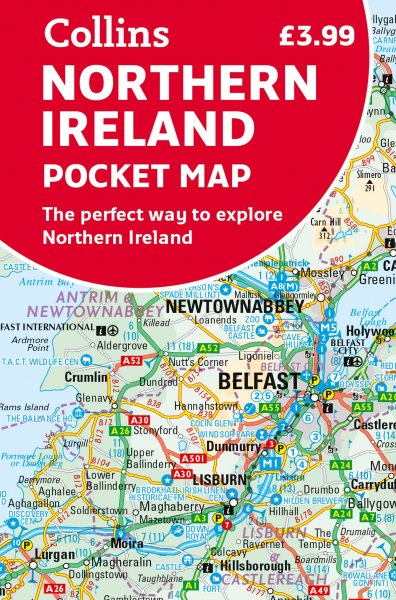
These maps are designed for tourist and leisure activities. Each map covers an area...
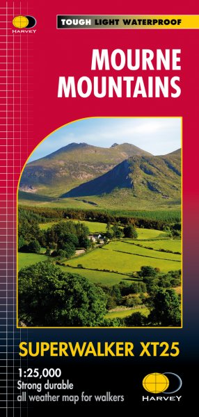
More than a map, an essential piece of equipment this new generation HARVEY Superwalker...
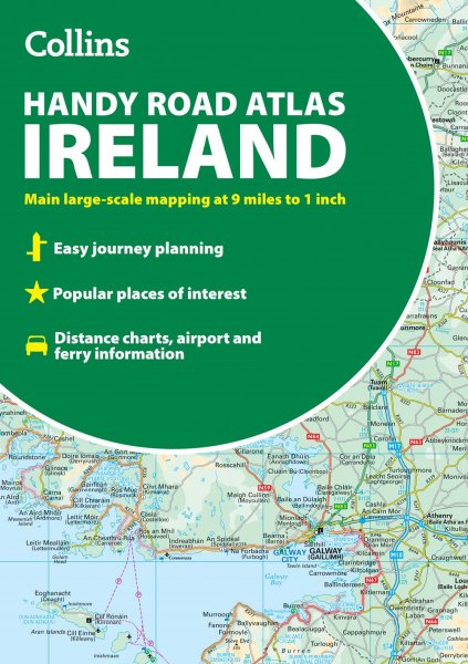
Discover new places with handy road atlases from Collins.
Explore Ireland with this...
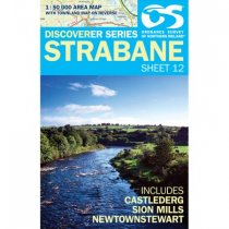
Strabane 1:50 000 scale multipurpose paper mapping.
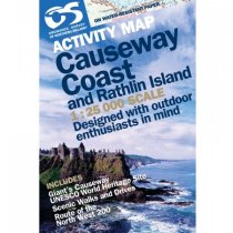
Outdoor pursuits map and navigation guide for Causeway Coast & Rathlin Island, with...
These maps are designed for tourist and leisure activities. Each map covers an area...
The Mournes, a granite mountain range in County Down, includes the highest mountains in...
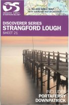
Strangford Lough 1:50 000 scale multipurpose paper mapping.
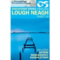
Lough Neagh 1:50 000 scale multipurpose paper mapping.

