Northern Ireland
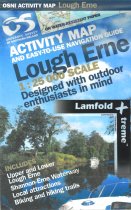
Upper Lough Erne 1:50 000 scale multipurpose paper mapping.
For use whether touring or exploring, these maps show the road network as well as...
Strangford Lough 1:50 000 scale multipurpose paper mapping.
For use whether touring or exploring, these maps show the road network as well as...
For use whether touring or exploring, these maps show the road network as well as...
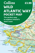
Explore new places with handy pocket maps from Collins.
Handy full-colour map of...
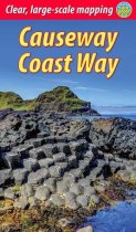
The unspoiled Causeway Coast of Antrim was one of Ireland's best-kept secrets until its...
The maps produced by Ordnance Survey Ireland are called the Discovery Series....
The Mournes, a granite mountain range in County Down, includes the highest mountains in...
More than a map, an essential piece of equipment this new generation HARVEY Superwalker...
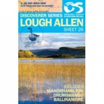
Lough Allen 1:50 000 scale multipurpose paper mapping.
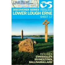
Lower Lough Erne 1:50 000 scale multipurpose paper mapping.


