North Wales
HARVEY launch innovative new series: Ultramap XT40. The Ultramap covers a large area...
Covers a large area yet is handily compact. Pocket perfect!
Detailed map for runners...
Covers a large area yet is handily compact. Pocket perfect!
Detailed map for runners...
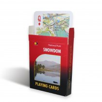
Map of Snowdon on playing cards.
Cards join together to form a map!
Map area...
A beguiling mix of towering mountains, knife-edge ridges, wild river gorges and...
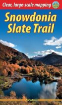
The Snowdonia Slate Trail is a waymarked trail that runs for 83 miles from Bangor on...
In stock
RRP:16.99
Your price:
£15.29
Written and designed by outdoor professionals, these authoritative guidebooks give...
This revised edition of Steve Ashton's classic guide presents 80 scrambles in the...
In stock
RRP:12.99
Your price:
£11.69
Pathfinder Guide to North East Wales, featuring 28 outstanding and mostly circular...
In stock
RRP:12.99
Your price:
£11.69
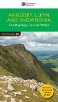
Pathfinder (R) Guide to Anglesey, Lleyn and Snowdonia, featuring 28 outstanding and...
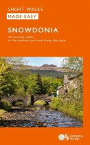
Short Walks Made Easy Guide to Snowdonia, featuring 10 outstanding walks designed for a...
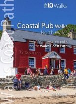
These attractive and cleverly structured guides will give walkers ten of the best short...


