Philip's
Items 1 to 8 of 8 total
1
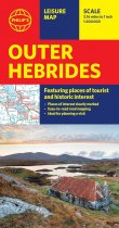
Brand new edition of this easy-to-use Philip's sheet map of the Outer Hebrides, giving...
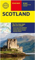
Philip's latest super-clear road map of Scotland and its islands - fully updated with...
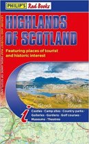
This leisure and tourist map of the Highlands of Scotland gives detailed coverage of...
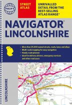
The only county Street Atlas with all the named streets of Lincolnshire and perfect...
The only county atlas with all the named streets of Somerset - more than 24,000 named...
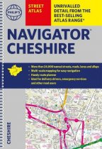
The only atlas with all the named streets in Cheshire. CHESTER, CREWE, MACCLESFIELD,...
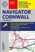
The only county Street Atlas with all the named streets of Cornwall and Plymouth. With...
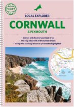
Who hasn't explored and enjoyed their surrounding area recently and come to appreciate...
Items 1 to 8 of 8 total
1

