Ordnance Survey
In stock
RRP:16.99
Your price:
£15.29
Map sheet number 259 in the OS Explorer series covers Ashbourne, Uttoxeter, Cheadle and...
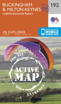
Map sheet number 192 in the OS Explorer series covers North Buckinghamshire and Milton...
Map sheet number 103 in the OS Explorer map series is the ideal map for exploring The...
In stock
RRP:16.99
Your price:
£15.29
Map sheet number 294 in the OS Explorer map series is ideal for discovering Market...
Map sheet number 112 covers Holsworthy and Launceston. Highlights include Dartmoor...
In stock
RRP:16.99
Your price:
£15.29
Map sheet number 108 in the OS Explorer series covers the south coast area between...
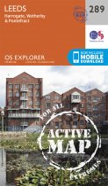
OS Explorer Map sheet 289 covers Harrogate to Pontefract, including Leeds and the...
In stock
RRP:16.99
Your price:
£15.29
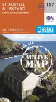
Map sheet number 107 is the perfect map for anyone wishing to explore the area of St...
In stock
RRP:16.99
Your price:
£15.29
Map sheet number 102 in the OS Explorer map series is the perfect map for discovering...
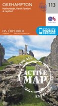
Map sheet number 113 in the OS Explorer map series is ideal for discovering the...
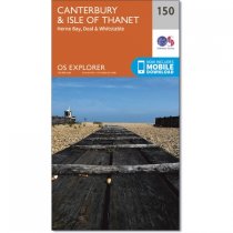
Map sheet number 150 in the OS Explorer series covers the historic city of Canterbury...
In stock
RRP:12.99
Your price:
£11.69
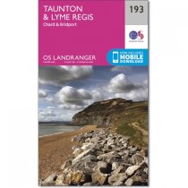
OS Landranger map 193 shows parts of Devon, Dorset and Somerset, including the popular...

