Ordnance Survey
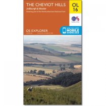
An all purpose map packed full of information to help you really get to know an area....
An all purpose map packed full of information to help you really get to know an area....
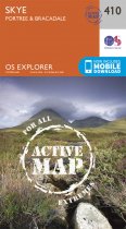
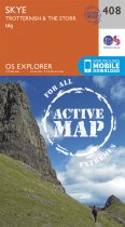
Weatherproofed Active Map. Every part of England, Scotland and Wales - however remote -...
Weatherproofed Avtive Map. Every part of England, Scotland and Wales - however remote -...
Weatherproofed Avtive Map. Every part of England, Scotland and Wales - however remote -...
In stock
RRP:16.99
Your price:
£15.29
Weatherproofed Avtive Map. Every part of England, Scotland and Wales - however remote -...
Every part of England, Scotland and Wales - however remote - is covered by 403 maps...
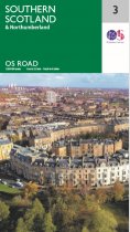
These new road maps offer exceptional regional coverage to get you to your destination....
These new road maps offer exceptional regional coverage to get you to your destination....
These new road maps offer exceptional regional coverage to get you to your destination....
An all purpose map packed full of information to help you really get to know an area....
Weatherproofed Active Version. The Landranger maps cover the country. Each map covers...

