Scottish Regional
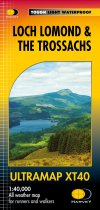
The Ultramap covers a large area yet is small enough to slip in a pocket.It is a fully...
A Laminated Flat map.
An encapsulated detailed easy to use colour map with unique 3-D shaded relief. Scale 1...
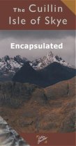
Encapsulated Cuillin, Isle of Sky Map 10cm: 3km
A Laminated Flat map.
Ben Nevis the Mamores and Glen Coe Map 3cm : 2 km - encapsulated.
A Laminated Flat map.
Revised and updated version of our Road Map 3, based on Ordnance Survey 1/250000 data....
An updated version of our popular Road Map1. Based on Ordnance Survey 1/250000 data and...
A brand new tourist map covering the islands of Islay, Jura and Colonsay. Showing many...
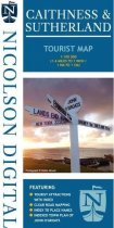
Tourist map of Caithness & Sutherland. Clear tourist mapping with tourist sites, places...
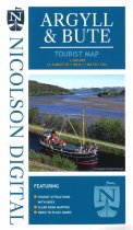
Tourist map at 1:100000 scale covering Bute, Cowal, Kintyre and Lorn
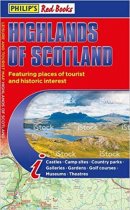
This leisure and tourist map of the Highlands of Scotland gives detailed coverage of...
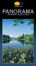
Large, full colour panorama of the Highlands viewed from Central Scotland. Historical...

