Scottish Street
Items 13 to 20 of 20 total
Fully revised and updated street map of Stirling and district. Includes Bannockburn,...
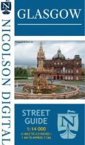
Card covered, updated fold out Glasgow Street Map with comprehensive index to the streets
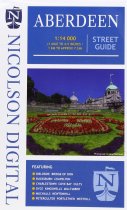
Folding street map of Aberdeen. Updated to show all the recent developments.
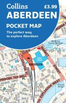
This handy full-colour map of Aberdeen features a detailed central area map, an 'Around...
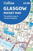
This handy little full colour map gives a detailed covering of central Glasow, from...
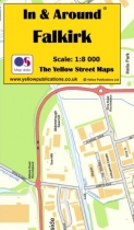
In & Around Mapping provides local street mapping for towns. Easy to read, laminated...
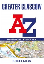
Navigate your way in and around Glasgow with this detailed and easy-to-use A-Z Street...
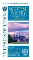
Brand new whisky map showing over 150
whisky distilleries on a clear & detailed road...
Items 13 to 20 of 20 total


