Maps & Atlases
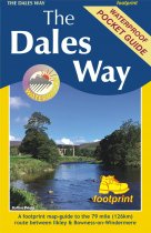
An exciting NEW compact map & guide covering the popular long distance route across...
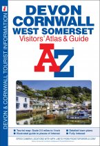
This full colour atlas and guide of Devon, Cornwall and West Somerset combines road...
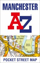
As well as the Northern Quarter and Spinningfields, the other areas covered include...
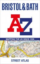
Navigate your way around Bristol and Bath with this detailed and easy-to-use A-Z Street...
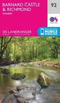
Take the Pennine Way through the hidden gem of Teesdale, home to the impressive...
This A-Z Adventure Atlas of the Peak District (Dark Peak) features 50 pages of...
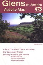
Glens of Antrim - OS Irish Activity maps are produced at a larger scale (1;25,000) for...
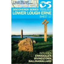
Lower Lough Erne 1:50 000 scale multipurpose paper mapping.
These maps are designed for tourist and leisure activities. Each map covers an area...
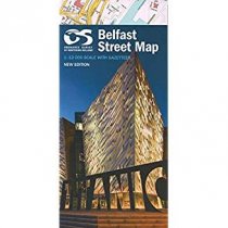
Belfast Street Map by Land and Property Services
Road Trip Ireland The Big Map by Robbie Roams! The ultimate map containing all major...
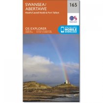
OS Explorer is the Ordnance Survey's most detailed map and is recommended for anyone...


