Northern Ireland & Ireland Maps
These maps are designed for tourist and leisure activities. Each map covers an area...
Belfast 1:50 000 scale multipurpose paper mapping.
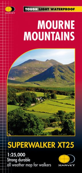
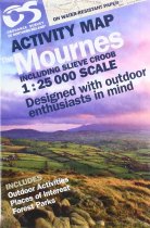
The Mournes including Slieve Croob in detail - tracks, cliffs, climbs, the Wall etc....
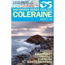
Coleraine 1:50 000 scale multipurpose paper mapping.
These maps are designed for tourist and leisure activities. Each map covers an area...
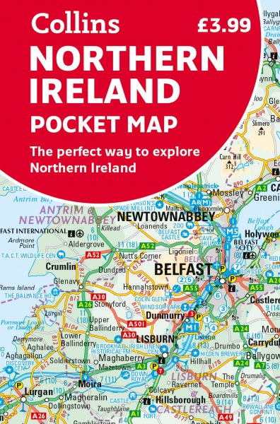
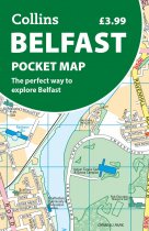
Discover new places in Belfast with this handy pocket map from Collins
Clear mapping...
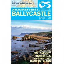
Ballycastle 1:50 000 scale multipurpose paper mapping.
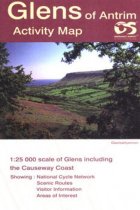
Glens of Antrim - OS Irish Activity maps are produced at a larger scale (1;25,000) for...
These maps are designed for tourist and leisure activities. Each map covers an area...
These maps are designed for tourist and leisure activities. Each map covers an area...
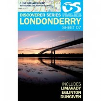
Londonderry 1:50 000 scale multipurpose paper mapping.
These maps are designed for tourist and leisure activities. Each map covers an area...

