Maps & Atlases
Handy little full colour map of Peak District National Park. Detailed mapping and...
Around and About maps bring local mapping to a wider audience. They are very popular...
Explore the whole county and area extending into Devon as far as Great Torrington,...
Enniskillen 1:50 000 scale multipurpose paper mapping.
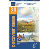
These maps are designed for tourist and leisure activities. Each map covers an area...
Outdoor pursuits map and navigation guide for Lough Erne, with easy-to-follow...
These maps are designed for tourist and leisure activities. Each map covers an area...
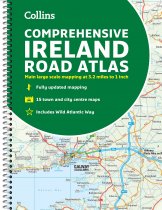
Clear, detailed road atlas of Ireland in a handy A4 spiral-bound format.
This...
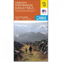
OS Explorer is the Ordnance Survey's most detailed map and is recommended for anyone...
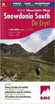
Snowdonia South is the latest title in the highly successful and innovative British...
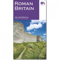
Identifying each archaeological period using different symbols and colours, this...
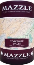
Full 1000pc jigsaw with an overveiw sheet included. Moderately difficult, with lots of...


