Maps & Atlases
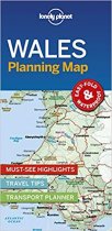
Durable and waterproof, with a handy slipcase and an easy-fold format, Lonely Planet’s...
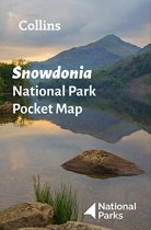
Handy little full colour map of Snowdonia National Park. Detailed mapping and visitor...
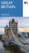
Navigate long-distance journeys with all of Great Britain’s motorways and primary roads...
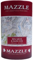
750 irregular shaped pieces make up this jigsaw of Ben Nevis and Glen Coe.
A map of the Isle of Arran accross 52 playing cards. Easy to
carry in your backpack...
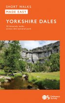
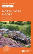
Enjoy the magnificent waterfalls, sweeping scenery and cosy Dale pubs with ten short,...
Walks range from 1 to 5 miles and are designed to be completed within a couple of...
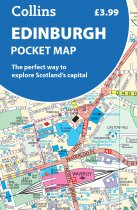
Handy little full-colour map of central Edinburgh with a high level of detail. Clear...
A detailed and easy to use colour map, showing Tourist Information Centres, museums,...
GPS compatible. 1:25 000 Scale, detailed for sure navigation, clear and easy to read...
An all purpose map packed full of information to help you really get to know an area....
An all purpose map packed full of information to help you really get to know an area....


