East Anglia
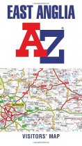
Explore the whole region of East Anglia extending from London to the North Sea coast....
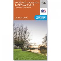
Map sheet number 196 in the OS Explorer series covers an area of Essex and Suffolk,...
In stock
RRP:12.99
Your price:
£11.69
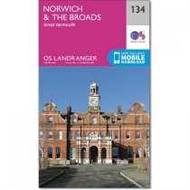
The Broads is a large area of wetlands and includes a network of rivers within the...
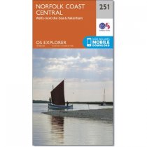
Map sheet number 251 in the OS Explorer series covers the coast and inland areas...
In stock
RRP:12.99
Your price:
£11.69
Map sheet number 132 in the OS Landranger map series covers the area of north west...
Map sheet number 238 covers Dereham and Aylsham. Highlights include Castle Acre and...
The capital of Norfolk, Norwich is a great base to explore the county. There are plenty...
Thetford Forest is a site of Special Scientific Interest, but still allows a wide range...
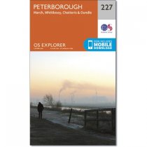
Map sheet number 227 covers Peterborough, Whittlesey, Oundle, March and Chatteris....
In stock
RRP:12.99
Your price:
£11.69
OS Explorer map sheet 208 shows the towns of Bedford, St Neots, Sandy and Biggleswade....
In stock
RRP:12.99
Your price:
£11.69
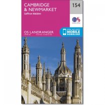
Cambridge is a world famous university city which is steeped in a rich history and...
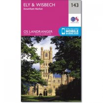
Map sheet number 143 in the OS Landranger map series is the ideal map to use when...

