East Midlands
As well as its spectacular scenery and long history, Derbyshire also has a rich...
In stock
RRP:16.99
Your price:
£15.29
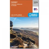
Map sheet number 259 in the OS Explorer series covers Ashbourne, Uttoxeter, Cheadle and...
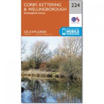
OS Explorer Map 224 shows Corby, Kettering and Wellingborough, including River Nene and...
In stock
RRP:12.99
Your price:
£11.69
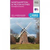
Northampton, covered by OS Landranger map 152, lies on the River Nene with the small...
The Landranger map is an all purpose map packed full of information to help you really...
Famously the home of Robin Hood, Explorer map 270 shows the appropriately named Robin...
In stock
RRP:12.99
Your price:
£11.69
Map sheet number 259 in the OS Explorer series covers Ashbourne, Uttoxeter, Cheadle and...
In stock
RRP:12.99
Your price:
£11.69
From Moreton Pinkney in the west to Olney in the east, this two sided map includes...
The area shown on OS Landranger map 128 features some fantastic waterways, making it an...
Map sheet number 245 in the OS Explorer series covers The National Forest in the...
From the Mouth of the Humber to Mablethorpe and inland to Louth, OS Explorer map 283 is...
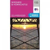
On the east coast of England, OS Explorer map 274 shows the towns of Skegness, Alford...


