London
Items 1 to 7 of 7 total
1
In stock
RRP:12.99
Your price:
£11.69
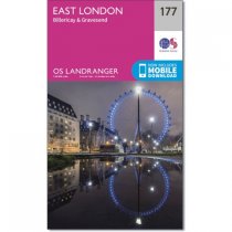
Map sheet number 177 in the OS Landranger map series covers East London. The area...
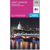
Map sheet number 176 in the OS Landranger map series is a great map for planning days...
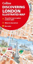
A new edition of London’s most original map. This hand-watercoloured map contains...
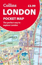
Discover new places in central London with this handy pocket map from Collins.
Clear...
Navigate your way around London with this detailed, easy-to-use, and up-to-date A-Z...
The ultimate street atlas to navigate your way around London.
A comprehensive...
With clear, large scale Ordnance Survey route maps, the Pathfinde Country Walks Near...
Items 1 to 7 of 7 total
1

