South East England
Dorothy Baldock began her career as a journalist with Woman's Weekly magazine and later...
As well as its long history, Kent also has a rich heritage of regional recipes. This...
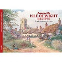
As well as its spectacular scenery and long history, The Isle of Wight also has a rich...
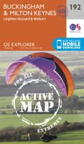
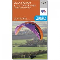
Map sheet number 192 in the OS Explorer series covers North Buckinghamshire and Milton...
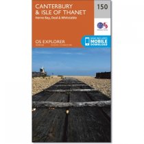
Map sheet number 150 in the OS Explorer series covers the historic city of Canterbury...
In stock
RRP:12.99
Your price:
£11.69
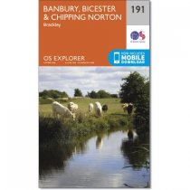
Map sheet number 191 in the OS Explorer series covers a section of the Cotswolds and...
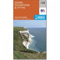
In the far South-East on England, Dover, Folkstone and Hythe border the Kent Downs, and...
Map sheet number 192 in the OS Explorer series covers North Buckinghamshire and Milton...
In stock
RRP:12.99
Your price:
£11.69
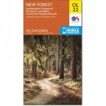
Map sheet number OL22 in the OS Explorer map series is the perfect map for holiday...
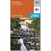
Map sheet number 180 in the OS Explorer series covers Oxford, Woodstock, Witney, Thame,...
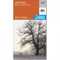
Map sheet number 137 in the OS Explorer series covers an area of Kent near Ashford and...
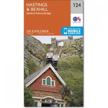
Map sheet number 124 in the OS Explorer series covers Hastings, Winchelsea, Battle,...


