Northern Ireland & Ireland Maps
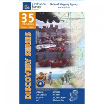
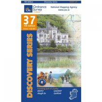
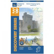
These maps are designed for tourist and leisure activities. Each map covers an area...
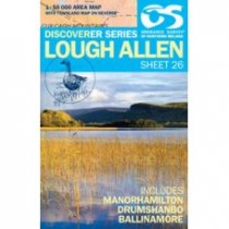
Lough Allen 1:50 000 scale multipurpose paper mapping.
These maps are designed for tourist and leisure activities. Each map covers an area...
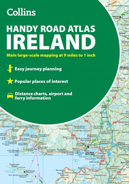
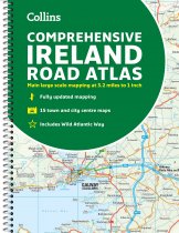
Clear, detailed road atlas of Ireland in a handy A4 spiral-bound format.
This...
These maps are designed for tourist and leisure activities. Each map covers an area...
These maps are designed for tourist and leisure activities. Each map covers an area...
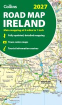
Full-colour map of Ireland at 9 miles to 1 inch (1:570,240), with clear, detailed road...
These maps are designed for tourist and leisure activities. Each map covers an area...
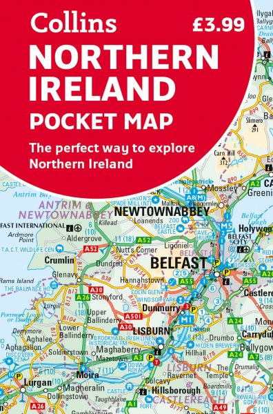
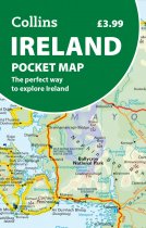
This full-colour map is the perfect size to slip into a pocket, bag or glovebox and...
Belfast 1:50 000 scale multipurpose paper mapping.
These maps are designed for tourist and leisure activities. Each map covers an area...
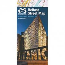
Belfast Street Map by Land and Property Services

