Northern Ireland & Ireland Maps
The unspoiled Causeway Coast of Antrim was one of Ireland's best-kept secrets until its...
For use whether touring or exploring, these maps show the road network as well as...
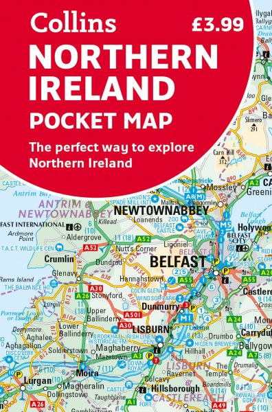
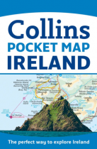
This full-colour map is the perfect size to slip into a pocket, bag or glovebox and...
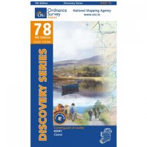
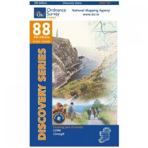
These maps are designed for tourist and leisure activities. Each map covers an area...
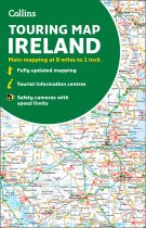
Large full colour map of the whole of Ireland showing the road network in detail, and...
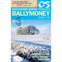
Ballymoney 1:50 000 scale multipurpose paper mapping.
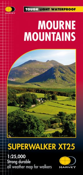
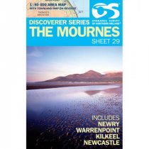
The Mournes 1:50 000 scale multipurpose paper mapping.
Upper Lough Erne 1:50 000 scale multipurpose paper mapping.
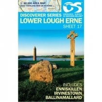
Lower Lough Erne 1:50 000 scale multipurpose paper mapping.
These maps are designed for tourist and leisure activities. Each map covers an area...
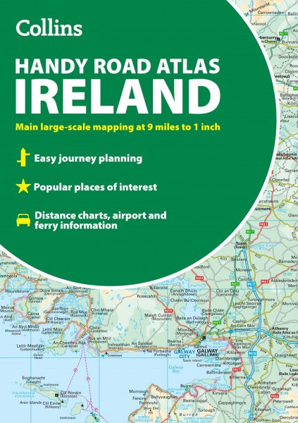
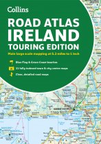
Explore Ireland with this accurate and fully updated road atlas.
This road atlas is at...
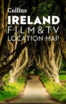
Full-colour, handy guide to more than 50 of the most popular film and TV locations in...

