Scotland

Aberdeen & Deeside

Loch Lomond, Trossachs, Stirling
Argyll & Bute

Arran

Ayrshire

Caithness & Sutherland

Dumfries & Galloway

Dundee & Angus

Edinburgh

Fife

Fort William & Lochaber

Glasgow & Strathclyde

Highlands

Mull & Iona

Orkney & Shetland

Outer Hebrides

Perthshire

Scottish Borders

Skye & Raasay

Western Isles
In stock
RRP:4.95
Your price:
£4.46
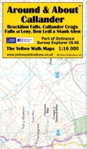
Around and About maps bring local mapping to a wider audience. They are very popular...
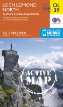
OS Explorer is the Ordnance Survey's most detailed map and is recommended for anyone...
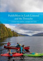
Loch Lomond & The Trossachs National Park is long established as a playground for...
A Look Back at Stirling in old photographs with detailed captions.
In stock
RRP:12.99
Your price:
£11.69
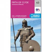
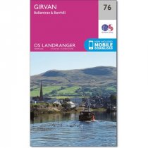
An all purpose map packed full of information to help you really get to know an area....
Every part of England, Scotland and Wales - however remote - is covered by 403 maps...
Covers Inveraray, Kintyre, Crinan, Gigha and South Argyll.
OS Explorer is the Ordnance Survey's most detailed map and is recommended for anyone...
Lurking behind the peaceful facade of Oban, a picturesque west coast Scottish town,...
In stock
RRP:4.95
Your price:
£4.46
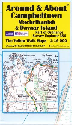
Around and About maps bring local mapping to a wider audience. They are very popular...
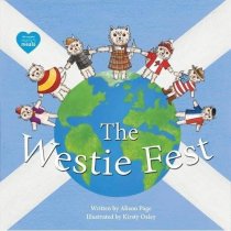
The Westie Fest is a lovely picture book story featuring Corrie an even
more loveable...
An all purpose map packed full of information to help you really get to know an area....

