View Books & Maps by Region
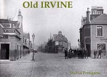
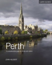
Having succumbed to the 1970s craze for dramatic town centre redevelopment, it's...
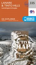
OS Explorer is the Ordnance Survey's most detailed map and is recommended for anyone...
Like so many others, the author used to take for granted how as a boy he would be taken...
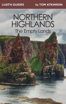
The Empty Lands are that great area of northern Scotland between Ullapool and Cape...
In Wild Winter, John D. Burns, bestselling author of The Last Hillwalker and Bothy...
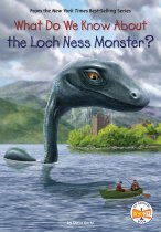
The What Do We Know About? series explores the mysterious, the unknown, and the...
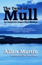
An Island’s Deadly Secret
When an unidentified man is found dead on a ferry to Oban,...
The king of Norway is coming to visit Indgar village and Thorfinn is named Head Chef...
When environmental journalist Marianne Brown arrived in Voe, Shetland, to attend the...
This is a fascinating and intimate account of the inter-relationship between one small...
Guthrie Hutton's second book on Perth for Stenlake features almost 180 archive...
Currently out of Stock
RRP:12.99
Your price:
£11.69
Former Provost, Dr John Hulbert, presents locals and visitors alike with a...


