

View Books & Maps by Region


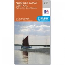
Map sheet number 251 in the OS Explorer series covers the coast and inland areas...
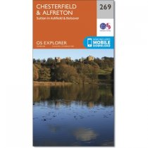
OS Explorer Map 269 covers Chesterfield, Sutton in Ashfield and Alfreton. There are a...

Hadrian's Wall is the largest, most spectacular and one of the most enigmatic...
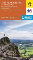
Map sheet number OL 24 in the OS Explorer series covers the Peak District area...
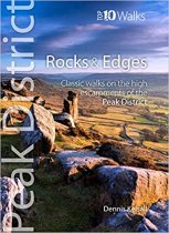
One in the Peak District: Top 10 Walks series. Handy, pocket-sized, full colour walking...
In stock
RRP:12.99
Your price:
£11.69
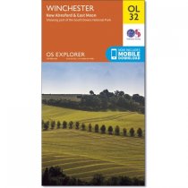
Map sheet OL 32 in the OS Explorer map series is the ideal map for days out in the...
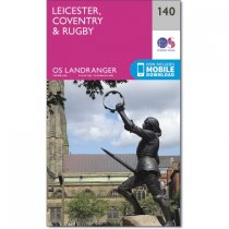
The Landranger map is an all purpose map packed full of information to help you really...
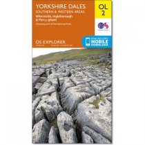
Map sheet number OL2 in the OS Explorer map series is the ideal map to use when...
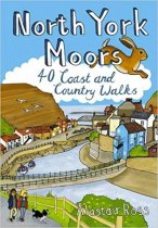
Designated a National Park in 1952, the North York Moors include the largest area of...
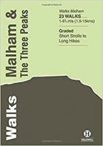
Last rewalked and updated in 2014, Walks Malham & The Three Peaks covers part of The...
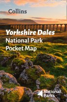
Handy little full colour map of Yorkshire Dales National Park. Detailed mapping and...

How did the lady of Dunluce Castle react when the kitchen fell into the sea while the...


