Ordnance Survey
Upper Lough Erne 1:50 000 scale multipurpose paper mapping.
For use whether touring or exploring, these maps show the road network as well as...
Strangford Lough 1:50 000 scale multipurpose paper mapping.
Belfast 1:50 000 scale multipurpose paper mapping.
For use whether touring or exploring, these maps show the road network as well as...
For use whether touring or exploring, these maps show the road network as well as...
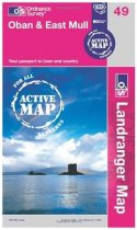
An all purpose map packed full of information to help you really get to know an area....
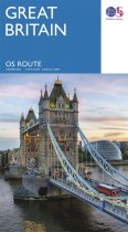
Navigate long-distance journeys with all of Great Britain’s motorways and primary roads...
In stock
RRP:6.99
Your price:
£6.29
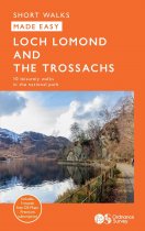
Centred on Loch Lomond, Britain’s largest loch, and the Great Trossachs Forest,...
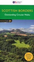
170 miles of revitalising Scottish Borders walking, with routes often starting from one...
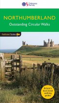
This new guide to Northumberland has ten brand-new Pathfinder walks across the county....
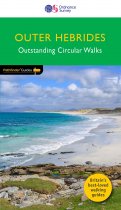
This new title to the Outer Hebrides represents a very welcome addition to our...


