England Maps
8 walks centred on Pateley Bridge. The map is clear and easy to understand. It...
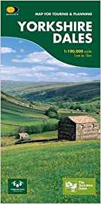
This map provides a colourful overview of the Dales - famous Swaledale, Wensleydale,...
8 walks to the north of Skipton The map is clear and easy to understand. It includes...
HARVEY launch innovative new series: Ultramap XT40. 16 titles featuring in Trail...
The Pennine Way is a National Trail. It follows the backbone of England from the Peak...
This Yorkshire Dales: Askrigg to Aysgarth Walks map includes eight walks in...
This map covering Swaledale, Wensleydale, Hawes and Reeth for walkers and mountain...
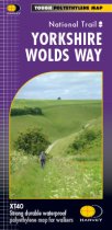
The Yorkshire Wolds Way is a 127 km (79 mile) walking route in the chalk landscape of...
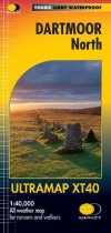
The Ultramap covers a large area yet is small enough to slip in a pocket.It is a fully...
The Ultramap covers a large area yet is small enough to slip in a pocket.It is a fully...
Cycle Rides 8 different routes
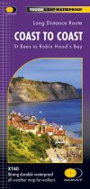
The Coast to Coast long distance route is a 370km (192 miles), unoffical and mostly...

