England Maps
Items 433 to 439 of 439 total
Currently out of Stock
RRP:16.99
Your price:
£15.29
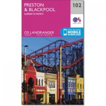
OS Landranger map 102 covers the Preston & Blackpool area. The buzzing seaside resort...
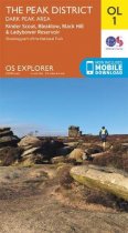
Map sheet number OL1 in the OS Explorer series is ideal for exploring all that the Dark...
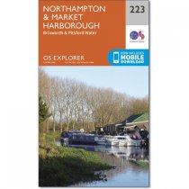
OS Explorer Map 233 shows Northampton, Market Harborough and Pitsford Water and has...
Map sheet number 139 in the OS Explorer series covers Ilfracombe, Bideford, Barnstaple,...
Handy little full colour map of Peak District National Park. Detailed mapping and...
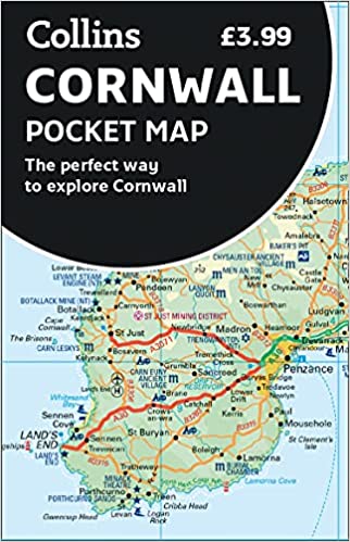
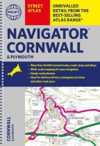
The only county Street Atlas with all the named streets of Cornwall and Plymouth. With...
Navigate your way around York with detailed street maps from A-Z
This up-to-date,...
Items 433 to 439 of 439 total

