England Maps
In stock
RRP:12.99
Your price:
£11.69
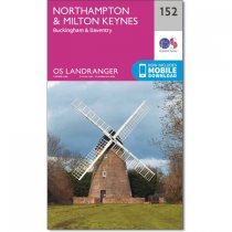
Northampton, covered by OS Landranger map 152, lies on the River Nene with the small...
In stock
RRP:12.99
Your price:
£11.69
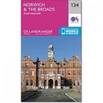
The Broads is a large area of wetlands and includes a network of rivers within the...
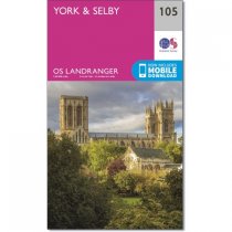
OS Landranger map 105 shows York, which is a buzzing and vibrant city packed with...
In stock
RRP:16.99
Your price:
£15.29
Map sheet number 293 in the OS Explorer series covers an area north of the river Humber...
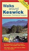
A map-guide to 16 walks around Keswick, in the English Lake District
The new Dinky Maps published by Dorrigo feature Ordnance Survey scale mapping
OS Explorer is the Ordnance Survey's most detailed map and is recommended for anyone...
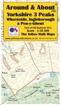
Around and About maps bring local mapping to a wider audience. They are very popular...
Includes Bleaklow, Black Hill and Derwent Reservoir.
Detailed map for hillwalkers of...
Map sheet 340 in the OS Explorer series covers the Northumbrian coast from High Newton...
Explorer map OL10 replaces OS Explorer 121 and covers the South Downs National Park,...
OS Landranger map 138 of Kidderminster & Wyre Forest also includes Bridgnorth, Abdon,...

