Maps & Atlases
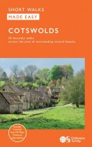
10 accessible walks for everybody. Explore the picturesque Cotswolds with 10 leisurely...
An all purpose map packed full of information to help you really get to know an area....
An all purpose map packed full of information to help you really get to know an area....
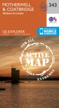
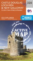
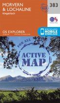
OS Explorer is the Ordnance Survey's most detailed map and is recommended for anyone...
Currently out of Stock
RRP:16.99
Your price:
£15.29
OS Explorer is the Ordnance Survey's most detailed map and is recommended for anyone...
OS Explorer is the Ordnance Survey's most detailed map and is recommended for anyone...
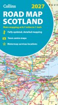
Explore Scotland with easy-to-read mapping from Collins.
Full-colour map of Scotland...
Currently out of Stock
RRP:12.99
Your price:
£11.69
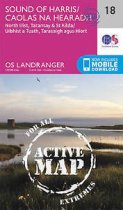
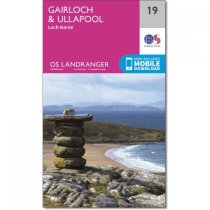
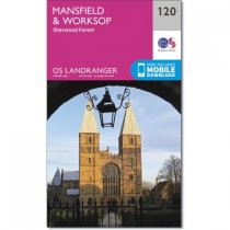
The Landranger map is an all purpose map packed full of information to help you really...
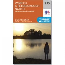
Map sheet number 235 covers Wisbech and Peterborough North. Highlights include the...
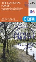
Map sheet number 245 in the OS Explorer series covers The National Forest in the...
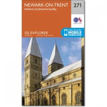
Double sided OS Explorer map 271 shows Retford to Southwell and Newark-on-Trent. his...
OS Explorer is the Ordnance Survey's most detailed map and is recommended for anyone...


