Maps & Atlases
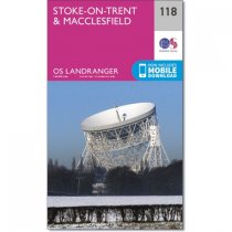
Stoke-on-Trent, famous for its ceramics and pottery, is a city in the county of...
In stock
RRP:12.99
Your price:
£11.69
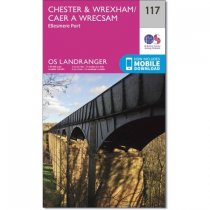
Map number 117 in the OS Landranger map series covers an area from Llangollen in the...
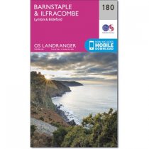
OS Landranger map 180 shows the northern coast of Devon, on the Bristol Channel. It...
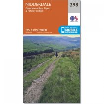
Map sheet number 298 in the OS Explorer series covers an area of North Yorkshire around...
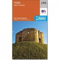
This two-sided map (OS Explorer 290) shows York down to Selby, including the Trans...
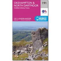
Map sheet number 191 in the OS Landranger map series is the perfect map to use when...
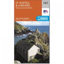
Map sheet number 107 is the perfect map for anyone wishing to explore the area of St...
In stock
RRP:12.99
Your price:
£11.69
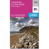
OS Landranger map 193 shows parts of Devon, Dorset and Somerset, including the popular...
Map sheet number 111 in the OS Explorer series is the perfect map to use when walking,...
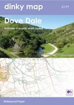
The new Dinky Maps published by Dorrigo feature Ordnance Survey scale mapping
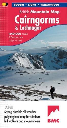
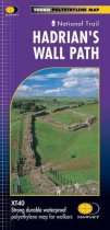
Tough & durable. XT40 - virtually indestructible. Light, compact. Entire route on one...
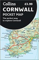
Handy little full colour map of Cornwall. Excellent value and very detailed for its...


