Maps & Atlases
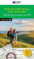
Discover more of the great outdoors with Navigation Skills for Walkers and Pathfinder...
An all purpose map packed full of information to help you really get to know an area....
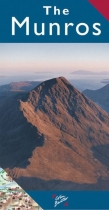
Unique 3-D shaded Relief, Features all of the Munros, Scotland's mountains over 3000ft...
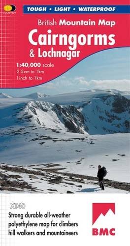
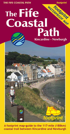
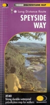
New tough polythene map. Tough, light and durable. 100% waterproof. Information on...
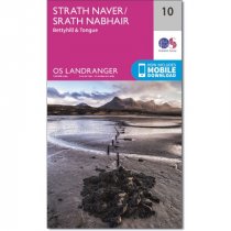
Every part of England, Scotland and Wales - however remote - is covered by 403 maps...
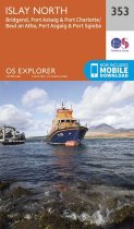
An all purpose map packed full of information to help you really get to know an area....
An all purpose map packed full of information to help you really get to know an area....
An all purpose map packed full of information to help you really get to know an area....
An all purpose map packed full of information to help you really get to know an area....
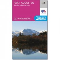
Every part of England, Scotland and Wales - however remote - is covered by 403 maps...
Every part of England, Scotland and Wales - however remote - is covered by 403 maps...
Every part of England, Scotland and Wales - however remote - is covered by 403 maps...


