Maps & Atlases
OS Explorer is the Ordnance Survey's most detailed map and is recommended for anyone...
OS Explorer is the Ordnance Survey's most detailed map and is recommended for anyone...
In stock
RRP:16.99
Your price:
£15.29
OS Explorer is the Ordnance Survey's most detailed map and is recommended for anyone...
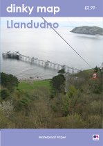
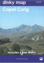
The new Dinky Maps published by Dorrigo feature Ordnance Survey scale mapping
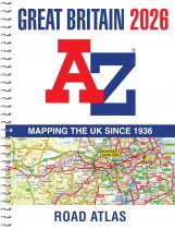
A spiral bound, full-colour road atlas, now fully revised and updated. Clear detailed...
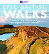
38 Epic long-distance walks across England, Scotland and Wales.
An all purpose map packed full of information to help you really get to know an area....
An all purpose map packed full of information to help you really get to know an area....
Explore some of Perthshire's less frequented roads with stunning views of the...
A laminated all purpose map packed full of information to help you really get to know...
An all purpose map packed full of information to help you really get to know an area....


