Maps & Atlases
In stock
RRP:12.99
Your price:
£11.69
Map sheet number 182 in the OS Landranger map series is the ideal map for planning days...
Map sheet number 115 in the OS Explorer series covers the east Devon coast including...
Map sheet number 251 in the OS Explorer series covers the coast and inland areas...
In stock
RRP:12.99
Your price:
£11.69
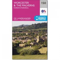
OS Landranger maps sheet 150 shows much of the River Severn and Avon valley, from...
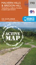
Map sheet number 190 in the OS Explorer series covers two areas of Outstanding Natural...
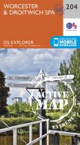
Near the junctions of the River Teme and River Severn, the City of Worcester and the...
In stock
RRP:16.99
Your price:
£15.29
Map sheet number 108 in the OS Explorer series covers the south coast area between...
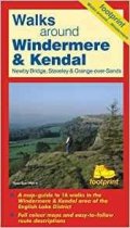
A map-guide to 16 walks in the Windermere & Kendal area of the English Lake District
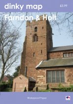
The new Dinky Maps published by Dorrigo feature Ordnance Survey scale mapping
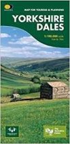
This map provides a colourful overview of the Dales - famous Swaledale, Wensleydale,...
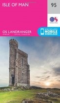
The OS Landranger Map is the ideal map for planning the perfect day out. This best...
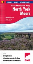
Detailed map of the North York Moors on one sheet at 1:40,000 scale.
Includes the...


