England Maps
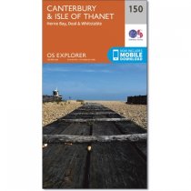
Map sheet number 150 in the OS Explorer series covers the historic city of Canterbury...
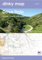
The new Dinky Maps published by Dorrigo feature Ordnance Survey scale mapping
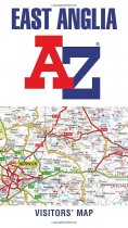
Explore the whole region of East Anglia extending from London to the North Sea coast....
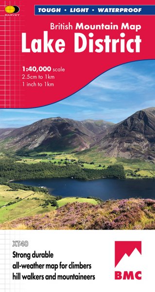
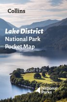
Handy little full colour map and guide of Lake District National Park. Detailed mapping...
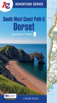
The perfect companion for those who love the great outdoors, the A-Z Adventure Series...
In stock
RRP:12.99
Your price:
£11.69
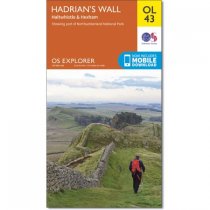
Walk in the footsteps of the Romans and experience this ancient frontier with over...
In stock
RRP:12.99
Your price:
£11.69
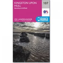
OS Landranger map 107 covers Kingston upon Hull, Beverley, Driffield,...
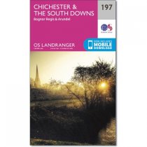
Map sheet number 197 in the OS Landranger series is the ideal map to use when planning...
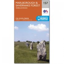
Map sheet number 157 in the OS Explorer series covers Marlborough, Avebury and Devizes...
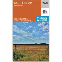
This is a two sided map that follows the River Trent from Long Eaton to Bleasby,...
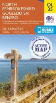
Map sheet OL35 in the OS Explorer series covers the North Pembrokeshire coast and the...
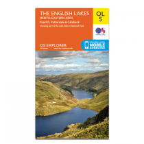
Map sheet number OL5 in the OS Explorer map series, The English Lakes: North-eastern...

