England Maps
This full-colour road atlas features 30 pages of continuous road mapping. Includes...
This A-Z map of Portsmouth is a full colour street atlas combining 54 pages of street...
The 162-kilometre South Downs Way begins in Winchester and traces a ridgeline along the...
Currently out of Stock
RRP:11.99
Your price:
£10.79
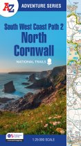
The perfect companion for those who love the great outdoors, the A-Z Adventure Series...
Currently out of Stock
RRP:11.99
Your price:
£10.79
The perfect companion for those who love the great outdoors, the A-Z Adventure Series...
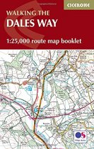
All the mapping you need to complete the Dales Way, a 79-mile long-distance route...
Currently out of Stock
RRP:11.99
Your price:
£10.79
The perfect companion for those who love the great outdoors, the A-Z Adventure Series...
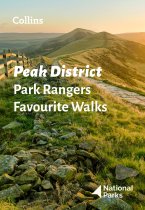
Walking guide to the Peak District National Park, with 20 best routes chosen by the...
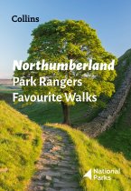
Walking guide to the Northumberland National Park, with 20 best routes chosen by the...
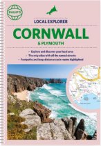
Who hasn't explored and enjoyed their surrounding area recently and come to appreciate...
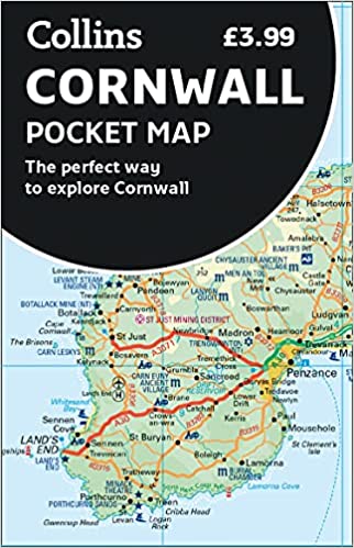
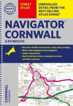
The only county Street Atlas with all the named streets of Cornwall and Plymouth. With...
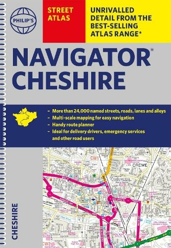
The only atlas with all the named streets in Cheshire. CHESTER, CREWE, MACCLESFIELD,...

