England Maps
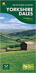
This Yorkshire Dales: Askrigg to Aysgarth Walks map includes eight walks in...
The Yorkshire Wolds Way is a 127 km (79 mile) walking route in the chalk landscape of...
Handy little full colour map of Dartmoor National Park. Detailed mapping and visitor...
Around and About maps bring local mapping to a wider audience. They are very popular...
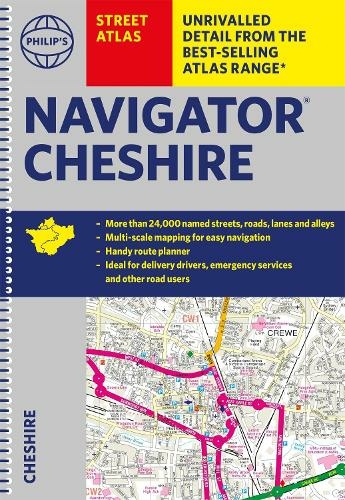
This full-colour road atlas features 30 pages of continuous road mapping. Includes...
Discover new places in central London with this handy pocket map from Collins.
Clear...
Near the junctions of the River Teme and River Severn, the City of Worcester and the...
Map sheet number 282 covers Lincolnshire Wolds North, Louth and Market Rasen....
Map sheet number OL 33 covers Haslemere, Petersfield, Midhurst and Selborne. Highlights...
Currently out of Stock
RRP:12.99
Your price:
£11.69
Map sheet number 173 in the OS Explorer map series is the ideal map to use when...
OS Explorer map sheet 249 shows The Wash, and the towns of Spalding, Holbeach, Long...
Map sheet number 266 in the OS Explorer series covers The Wirral in the North West of...