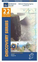
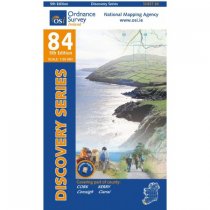
Northern Irish & Irish Ordnance
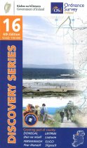
Upper Lough Erne 1:50 000 scale multipurpose paper mapping.
These maps are designed for tourist and leisure activities. Each map covers an area...
Lough Allen 1:50 000 scale multipurpose paper mapping.
These maps are designed for tourist and leisure activities. Each map covers an area...
These maps are designed for tourist and leisure activities. Each map covers an area...
These maps are designed for tourist and leisure activities. Each map covers an area...
These maps are designed for tourist and leisure activities. Each map covers an area...
These maps are designed for tourist and leisure activities. Each map covers an area...
These maps are designed for tourist and leisure activities. Each map covers an area...
These maps are designed for tourist and leisure activities. Each map covers an area...
Belfast 1:50 000 scale multipurpose paper mapping.
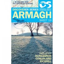
This Discoverer 19 Map of Armagh, Ireland is ideal for discovering this part of the...


