Northern Irish & Irish Ordnance
Enniskillen 1:50 000 scale multipurpose paper mapping.
Outdoor pursuits map and navigation guide for Lough Erne, with easy-to-follow...
These maps are designed for tourist and leisure activities. Each map covers an area...
These maps are designed for tourist and leisure activities. Each map covers an area...
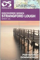
Strangford Lough 1:50 000 scale multipurpose paper mapping.
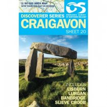
Craigavon 1:50 000 scale multipurpose paper mapping.
These maps are designed for tourist and leisure activities. Each map covers an area...
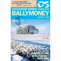
Ballymoney 1:50 000 scale multipurpose paper mapping.
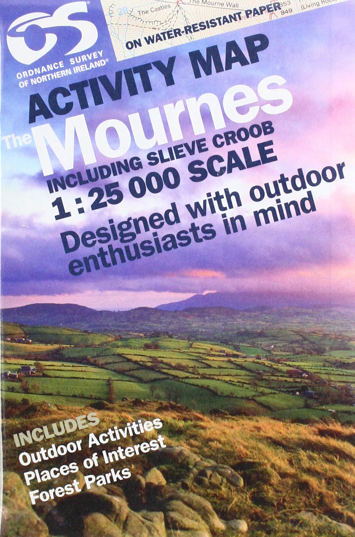
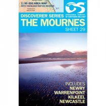
The Mournes 1:50 000 scale multipurpose paper mapping.
For use whether touring or exploring, these maps show the road network as well as...
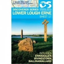
Lower Lough Erne 1:50 000 scale multipurpose paper mapping.
These maps are designed for tourist and leisure activities. Each map covers an area...


