Maps & Atlases
Currently out of Stock
RRP:11.99
Your price:
£10.79
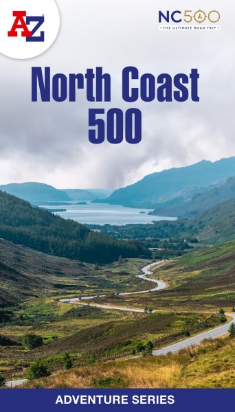
The perfect companion for those who love the great outdoors, the A-Z Adventure Series...
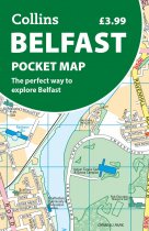
Discover new places in Belfast with this handy pocket map from Collins
Clear mapping...
Enhanced, large scale (1: 25,000) Ordnance Survey mapping in a handy atlas format with...
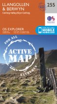
OS Explorer is the Ordnance Survey's most detailed map and is recommended for anyone...
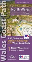
One of seven handy Ordnance Survey Map Books covering the entire 870 mile/1400...
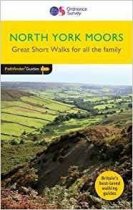
Short Walks North York Moors covering parts of Danby, Sutton Bank and Bridestone. This...
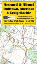
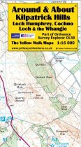
Around and About maps bring local mapping to a wider audience. They are very popular...
Currently out of Stock
RRP:4.95
Your price:
£4.46
Around and About maps bring local mapping to a wider audience. They are very popular...
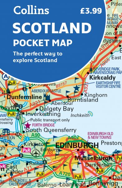
An all purpose map packed full of information to help you really get to know an area....
OS Explorer is the Ordnance Survey's most detailed map and is recommended for anyone...
OS Explorer is the Ordnance Survey's most detailed map and is recommended for anyone...
Currently out of Stock
RRP:16.99
Your price:
£15.29
OS Explorer is the Ordnance Survey's most detailed map and is recommended for anyone...


