Maps & Atlases
Map sheet number 299 in the OS Explorer map series is ideal for discovering North...
In stock
RRP:12.99
Your price:
£11.69
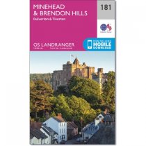
Map sheet number 181 in the OS Landranger map series is the ideal map for planning days...
In stock
RRP:12.99
Your price:
£11.69
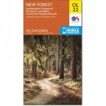
Map sheet number OL22 in the OS Explorer map series is the perfect map for holiday...
In stock
RRP:16.99
Your price:
£15.29
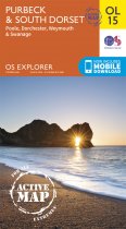
Sheet number OL15 in the OS Explorer map series is the ideal map for exploring the...
In stock
RRP:12.99
Your price:
£11.69
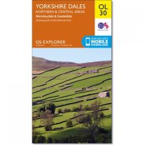
Map sheet number OL30 in the OS Explorer map series is the map of choice for people...
In stock
RRP:16.99
Your price:
£15.29
Map sheet number 294 in the OS Explorer map series is ideal for discovering Market...
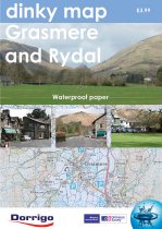
The new Dinky Maps published by Dorrigo feature Ordnance Survey scale mapping
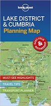
Durable and waterproof, with a handy slipcase and an easy-fold format, Lonely Planet's...
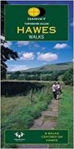
Yorskhire Dales 8 walks centred on Hawes. The map is clear and easy to understand. It...
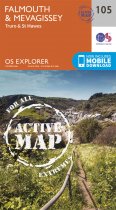
OS Explorer is the Ordnance Survey's most detailed map and is recommended for anyone...
An all purpose map packed full of information to help you really get to know an area....
Ballymoney 1:50 000 scale multipurpose paper mapping.


