Maps & Atlases
Around and About maps bring local mapping to a wider audience. They are very popular...
A map/guide to eight easy to follow walks
In stock
RRP:4.95
Your price:
£4.46
An easy to use set of maps at a scale of 1:200 000 that you can slip in you pocket....
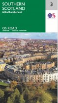
These new road maps offer exceptional regional coverage to get you to your destination....
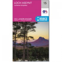
An all purpose map packed full of information to help you really get to know an area....
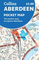
This handy full-colour map of Aberdeen features a detailed central area map, an 'Around...
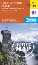
OS Explorer is the Ordnance Survey's most detailed map and is recommended for anyone...
Fully revised and updated street map of Stirling and district. Includes Bannockburn,...
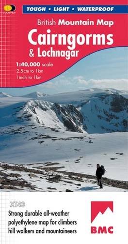
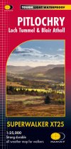
Covers Pitlochry, Loch Tummel & Blair Atholl.
Includes Ben Vrackie, one of the best...
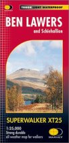
GPS compatible. 1:25 000 Scale, detailed for sure navigation, clear and easy to read...
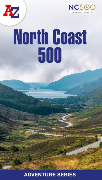
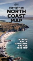
This North Coast Road Trip Map is the essential tool that will guide you through the...
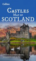
Explore Scotland’s ancient monuments with this pictorial map featuring over 700 castles...


