Maps & Atlases
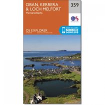
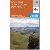
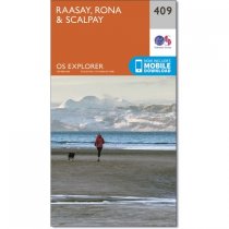
GPS compatible. 1:25 000 Scale, detailed for sure navigation, clear and easy to read...
An all purpose map packed full of information to help you really get to know an area....
An all purpose map packed full of information to help you really get to know an area....
An all purpose map packed full of information to help you really get to know an area....
An all purpose map packed full of information to help you really get to know an area....
An all purpose map packed full of information to help you really get to know an area....
Every part of England, Scotland and Wales - however remote - is covered by 403 maps...
Every part of England, Scotland and Wales - however remote - is covered by 403 maps...
Every part of England, Scotland and Wales - however remote - is covered by 403 maps...
Every part of England, Scotland and Wales - however remote - is covered by 403 maps...
Every part of England, Scotland and Wales - however remote - is covered by 403 maps...
Every part of England, Scotland and Wales - however remote - is covered by 403 maps...


