Maps & Atlases
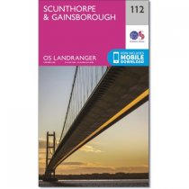
The Landranger map is an all purpose map packed full of information to help you really...
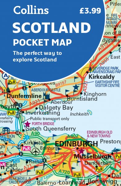
These maps are designed for tourist and leisure activities. Each map covers an area...
For use whether touring or exploring, these maps show the road network as well as...
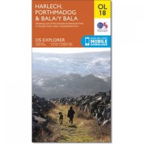
OS Explorer is the Ordnance Survey's most detailed map and is recommended for anyone...
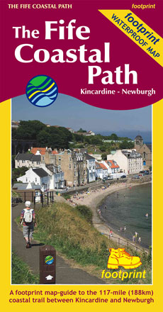
The 200km (125 mile) long Anglesey Coastal Path is a long distance route that follows...
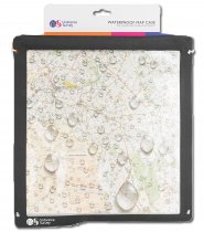
Ordnance Survey Grey Waterproof Map Case from OS ancillary range.
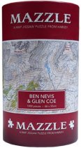
750 irregular shaped pieces make up this jigsaw of Ben Nevis and Glen Coe.
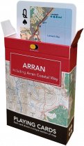
A map of the Isle of Arran accross 52 playing cards. Easy to
carry in your backpack...
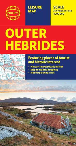
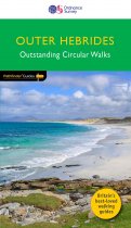
This new title to the Outer Hebrides represents a very welcome addition to our...
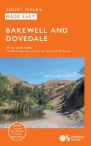
This guide features ten family-friendly and easy-paced short walks within
the White...
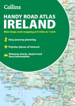
Discover new places with handy road atlases from Collins.
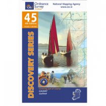
Explore Ireland with this...
A detailed and easy to use colour map, showing Tourist Information Centres, museums,...


