England
This A-Z map of South East England is a full colour regional road atlas featuring 46...
As well as ferry routes from Portsmouth Harbour, other areas covered include Southsea,...
This full-colour road atlas features 30 pages of continuous road mapping. Includes...
As well as the city centre and the University of Reading, the other areas covered...
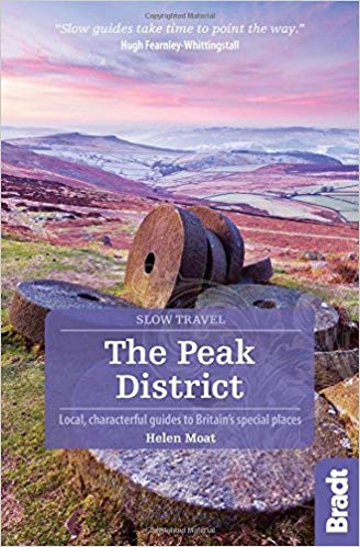
The Pennine Way is the oldest of the 16 National Trails and runs along The Pennines,...
Explore the whole county and area extending into Devon as far as Great Torrington,...


