England
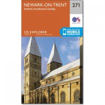
Double sided OS Explorer map 271 shows Retford to Southwell and Newark-on-Trent. his...
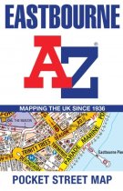
This up-to-date detailed A-Z street map includes more than 1,600 streets in and around...
This up-to-date, folded A-Z street map includes all of the 1,500 streets in and around...
Currently out of Stock
RRP:12.99
Your price:
£11.69
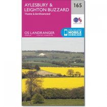
Landranger Map 165 covers Aylesbury, the county town of Buckinghamshire. Leighton...
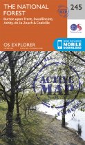
Map sheet number 245 in the OS Explorer series covers The National Forest in the...
Explore new places with handy pocket maps from Collins.
Handy little full-colour map...
Following the River Waveney, OS Explorer Map 230 is a double-sided mapfeaturing East...
OS Explorer Map 233 shows Northampton, Market Harborough and Pitsford Water and has...
Map sheet number 139 in the OS Explorer series covers Ilfracombe, Bideford, Barnstaple,...


